Activities
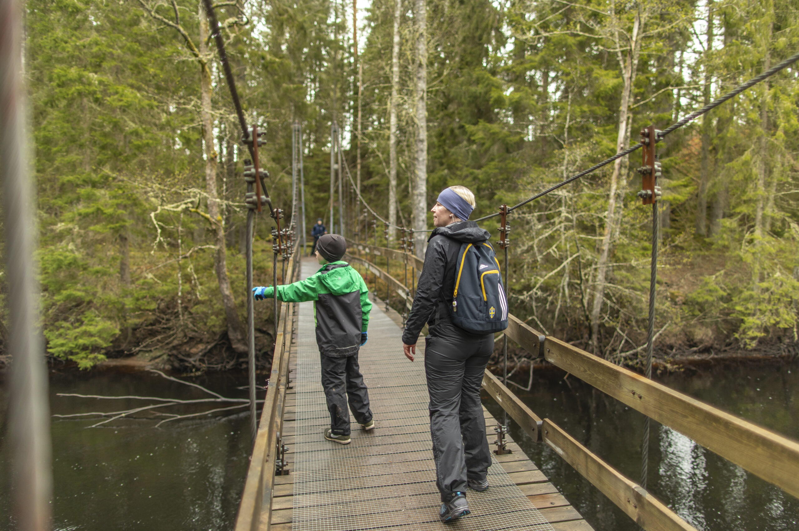
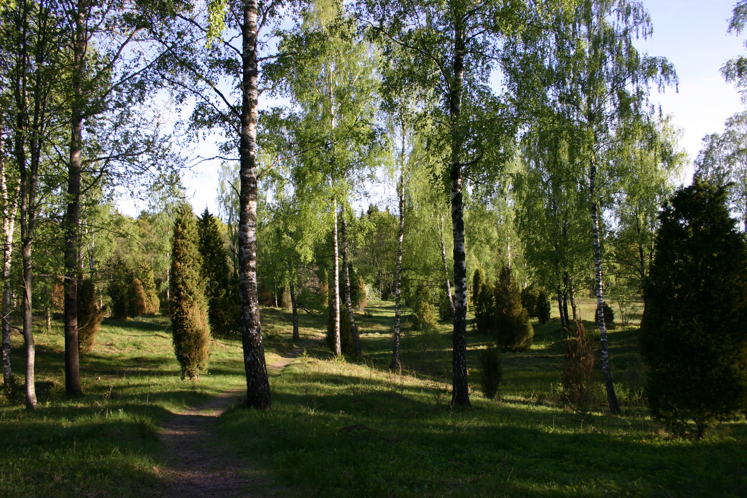
Hiking

Hestraviken is a charming hotel on the banks of the Nissan River in Småland, surrounded by beautiful nature and peaceful surroundings. Here, personal service, relaxation, and culinary experiences come together in a harmonious atmosphere – ideal for a nature getaway in southern Sweden.
Hestraviken offers inspiring meetings and conferences in a peaceful, nature-filled setting in Småland, Sweden. Here, productive gatherings are combined with first-class dining and personal service. With flexible meeting rooms, modern technology, and unique experiences, we create conferences that truly make a difference.
At Restaurant Hestraviken, we serve seasonal dishes crafted with local ingredients and great care – offering dining experiences beyond the ordinary. With a warm atmosphere and scenic views, it’s the perfect setting for both relaxing dinners and memorable meals in the heart of Småland, Sweden.
Riverside Spa at Hestraviken offers a peaceful escape with warm pools, saunas, and scenic views of the Nissan River in Småland, Sweden. Here, you can unwind in a harmonious natural setting and enjoy a moment of wellness and relaxation – no matter the season.
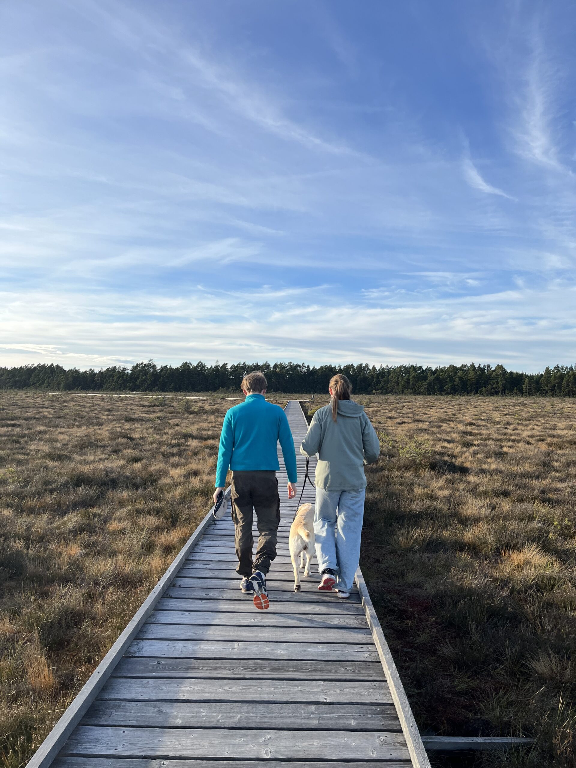
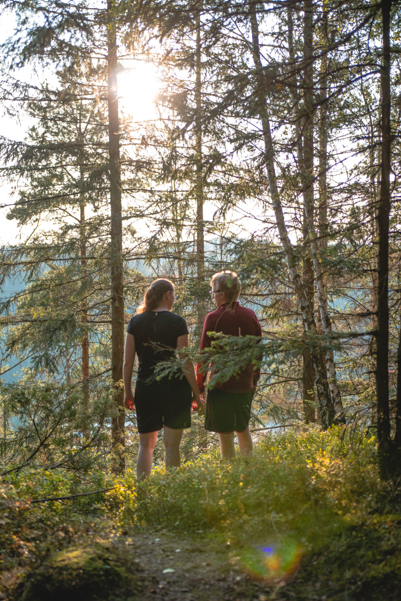
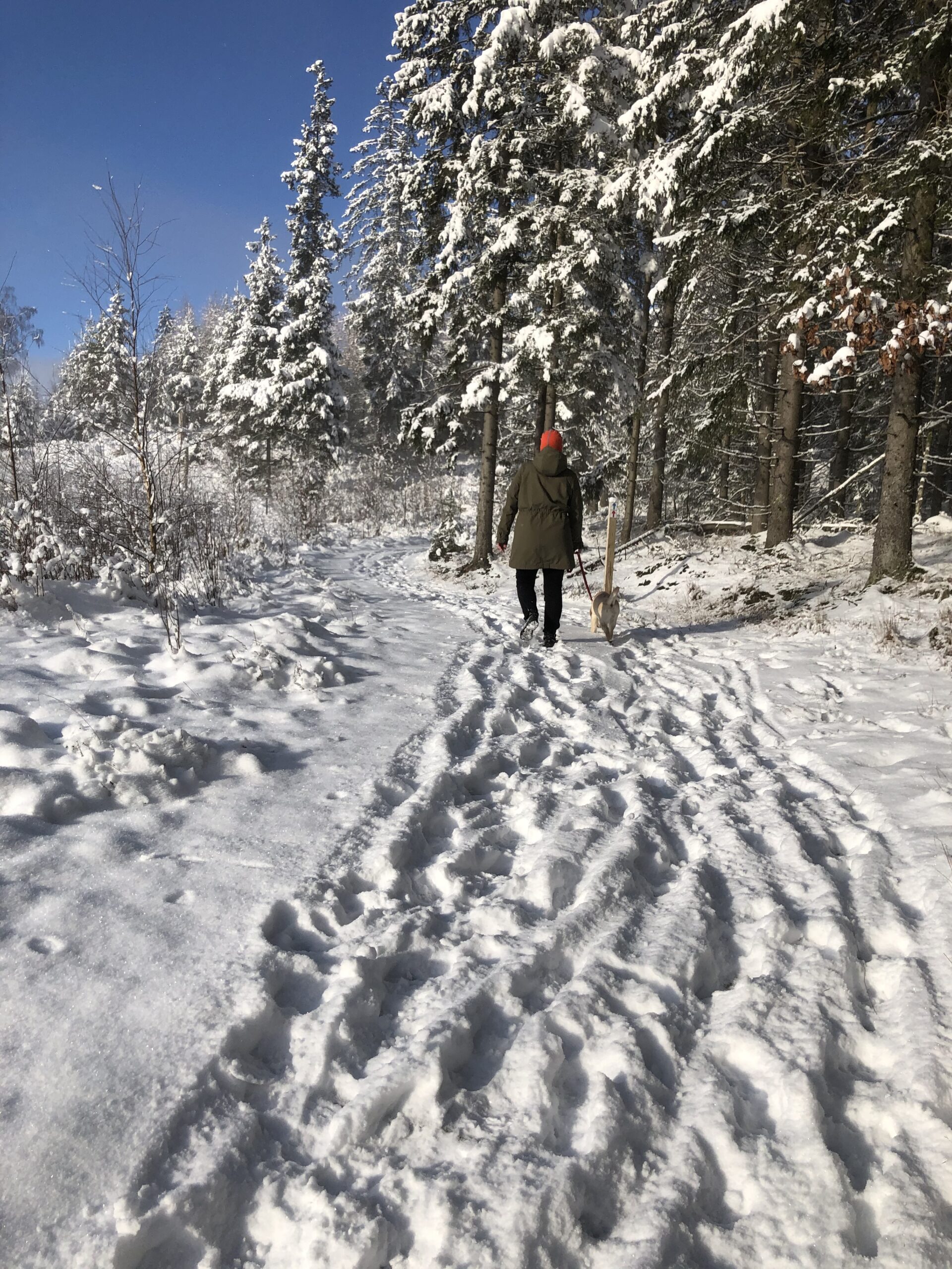
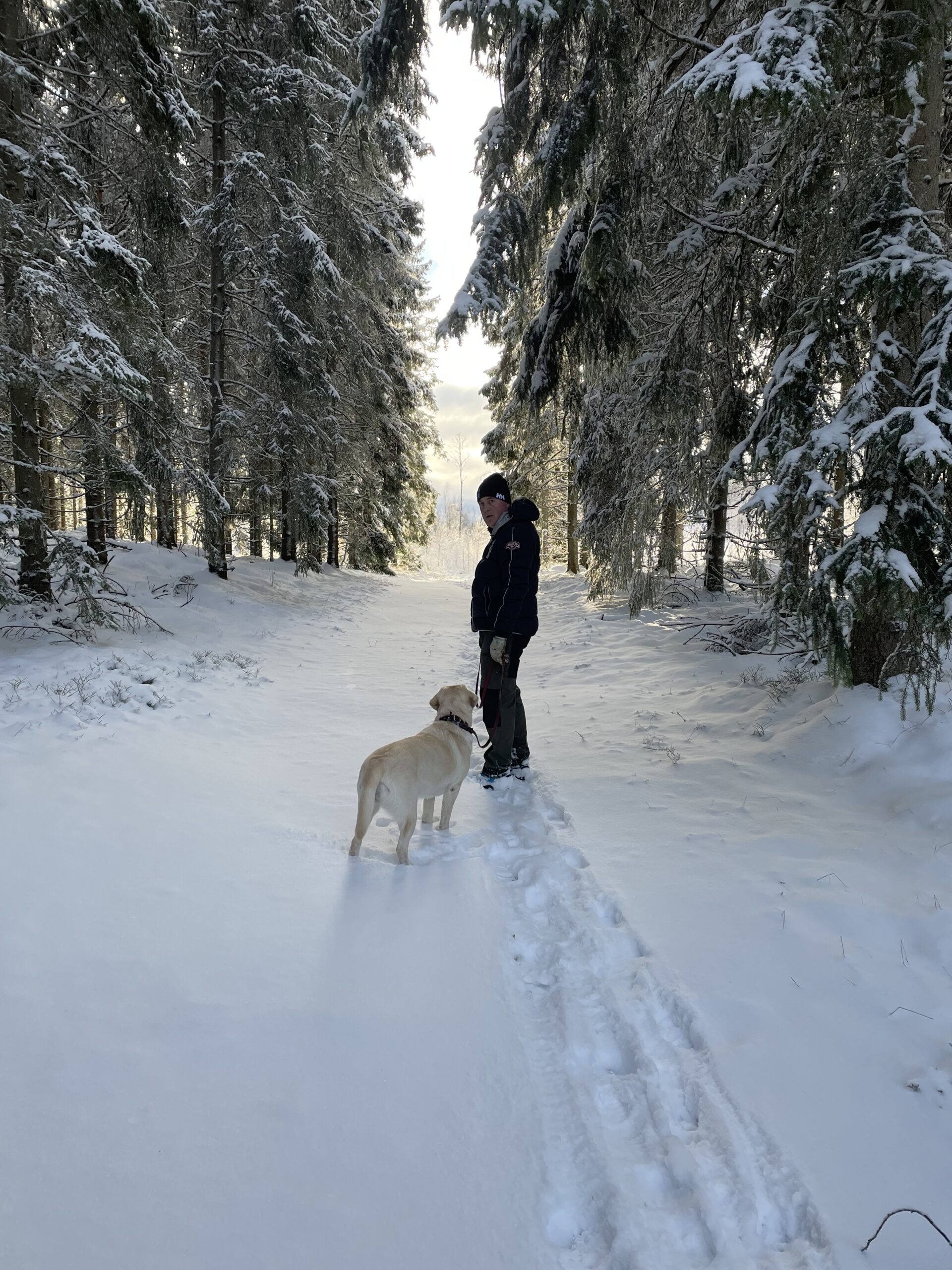
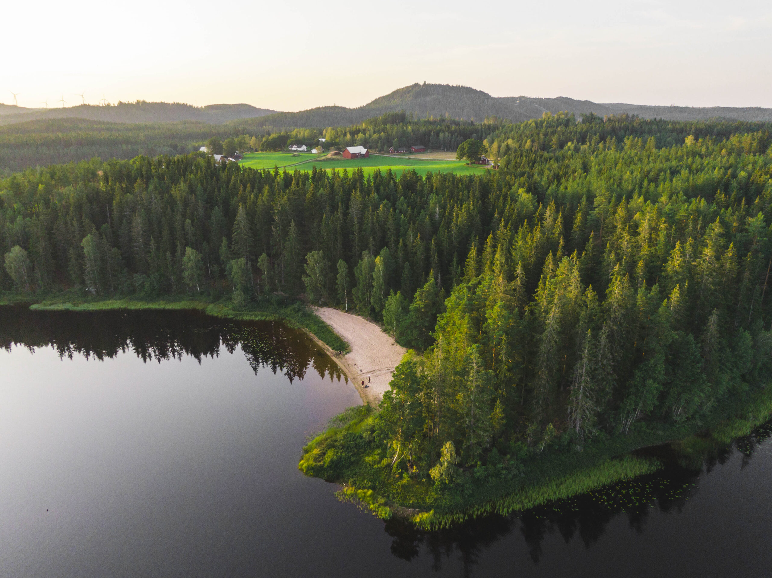
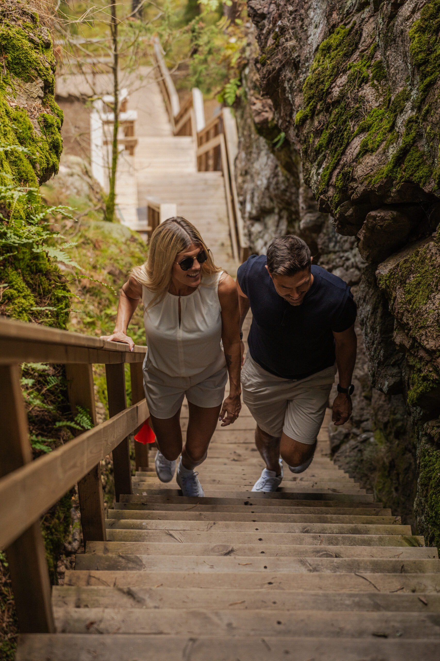
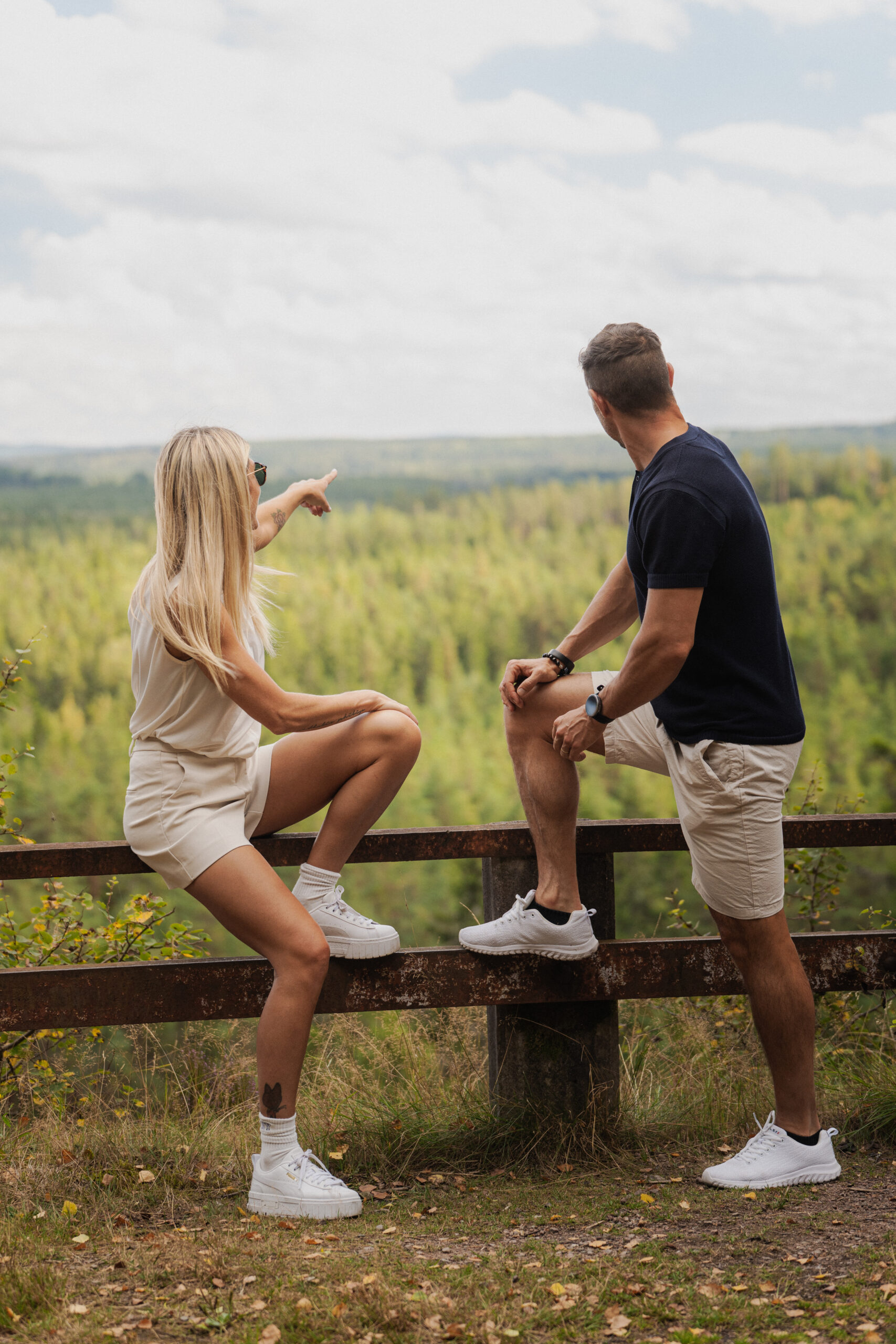
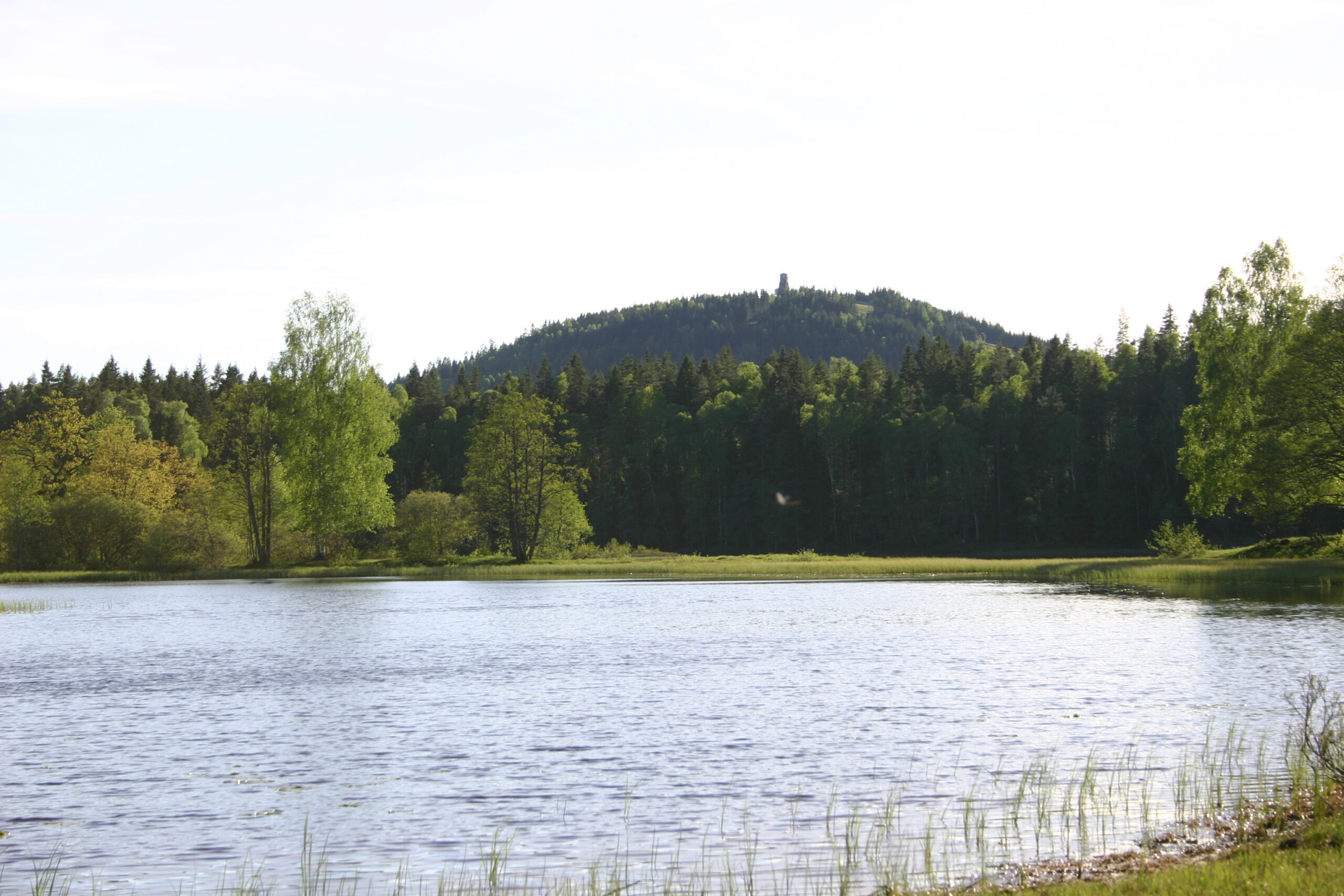
Around Hestraviken and Isaberg, a variety of hiking trails take you through deep forests, rolling hills, and along shimmering lakes. Whether you prefer a peaceful walk around the lake, a challenging climb up Jättestigen, or a longer trek along one of the area’s extended trails, there is something for everyone.
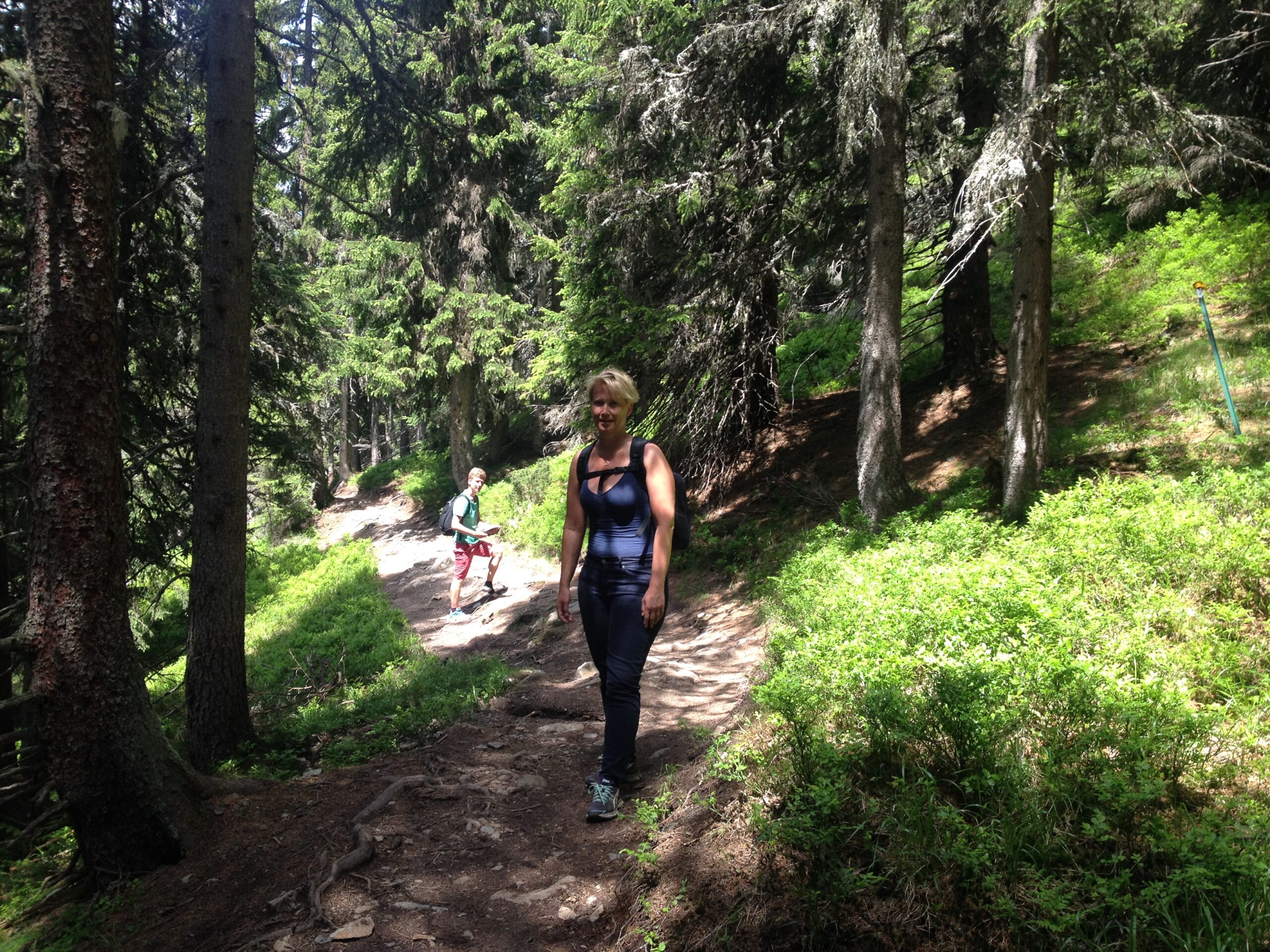
Hiking in the beautiful landscapes of Småland is a relaxing and enriching way to connect with nature. Here, you will find everything from short, easy-access trails to longer hikes for those seeking a challenge:
Isabergstoppen – A magnificent view awaits after climbing up Jättestigen.
Algustorpasjön – A peaceful walk around the lake with stunning views.
Järnbärarleden – A longer 17 km trail stretching between Hestra and Gnosjö.
Gislavedsleden – A grand hiking route spanning 100 km from Kinnared in the south to Isaberg in the north.
During the season, the forests are full of mushrooms and berries, making it a great opportunity to combine hiking with nature’s own delicacies.
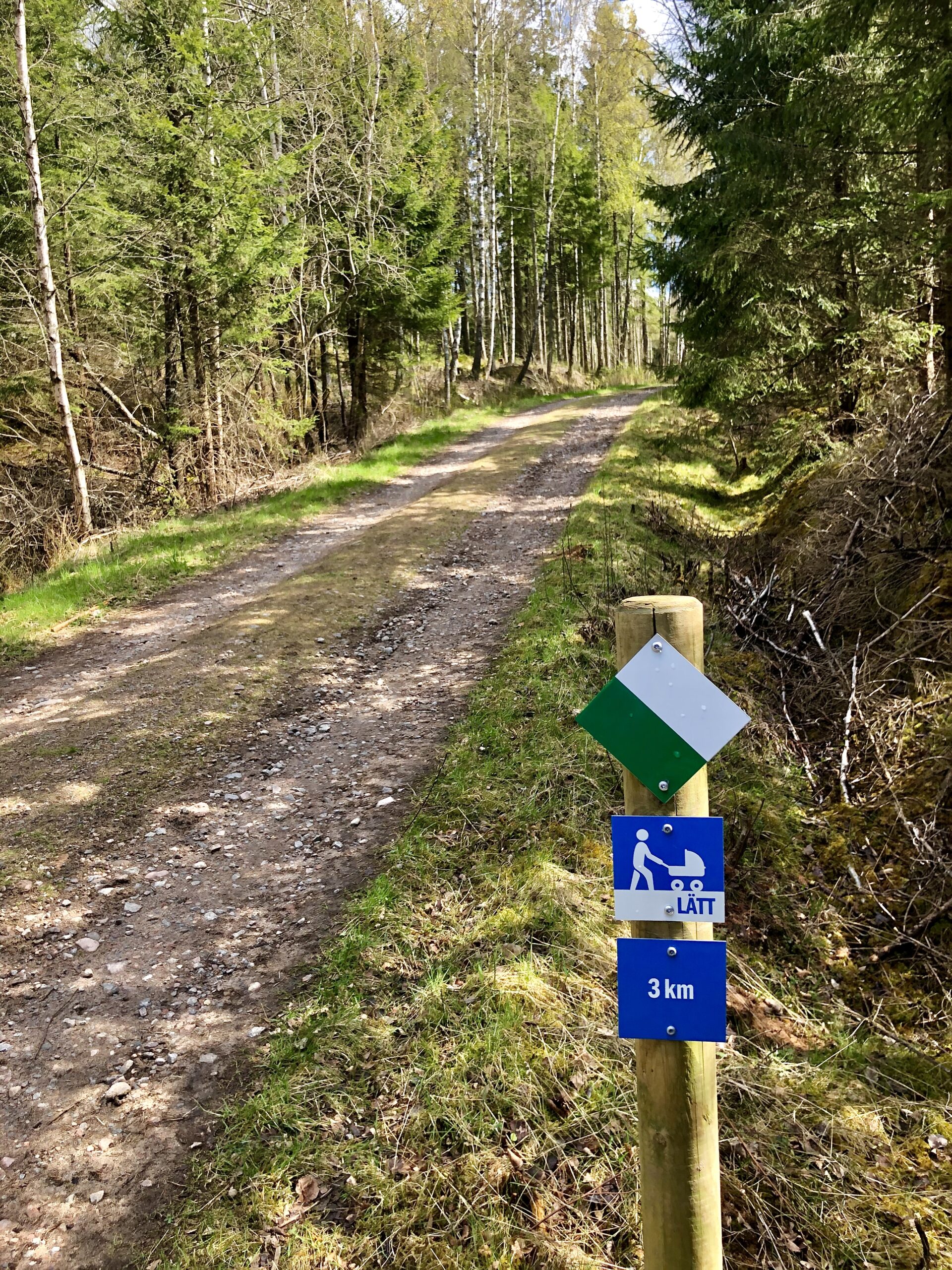
Maps and tips are available at the reception, where we are happy to help plan your hike according to your preferences.
Find the Hiking Trails in the Area with Naturkartan a digital map
Naturkartan is a fantastic tool that offers detailed maps and valuable information!
Perfect for a jogging session with soft ground and gently rolling terrain. Part of the trail offers a beautiful view of Isaberg and Algustorpasjön.
Distance: 2 km
Marked in red on the map
A lovely walk leading to a beautiful beach halfway through, ideal for a picnic.
Distance: 1.5 km
Marked in blue on the map
A steep climb through an impressive mountain gorge, with a scenic lakeside walk leading up to the ascent.
Distance: 6 km (short route) or 10.5 km (long route around the lake)
Marked in dark pink on the map

A longer hike through the Ettö Nature Reserve, offering stunning scenery and flora.
Distance: 9.5 km
Suitable for hiking, jogging, and MTB biking
Marked in dark pink on the map
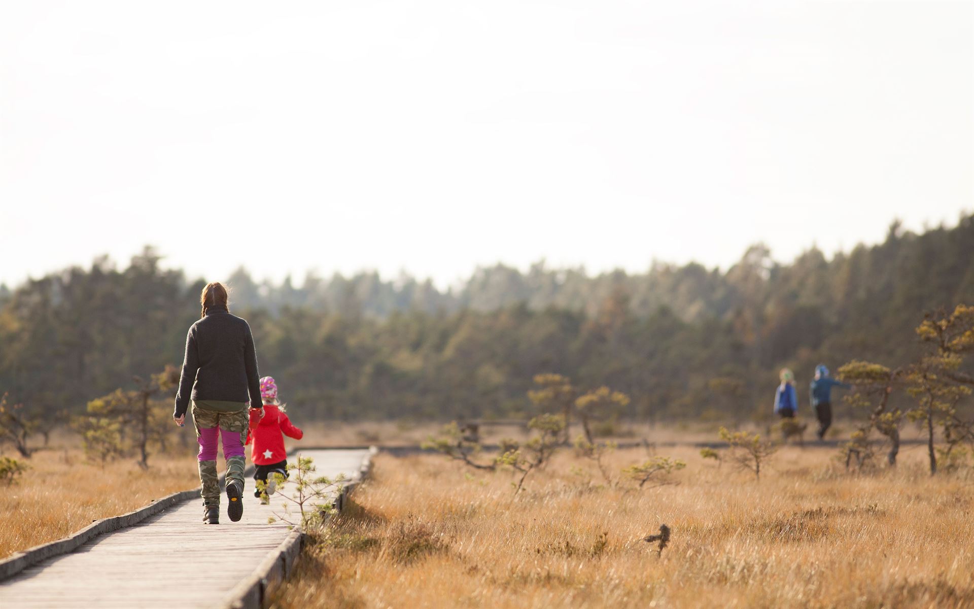
Just 20 km from Hestraviken, Store Mosse National Park is the largest bog south of Lapland. It’s a paradise for birdwatchers but also perfect for scenic hikes. The park features bird-watching towers, warming huts, picnic areas, and several miles of marked trails.
In autumn 2003, the Naturum visitor center was inaugurated, offering exhibitions about the park’s history, flora, and fauna. The panoramic windows allow you to observe birdlife even on days when the weather is less inviting.
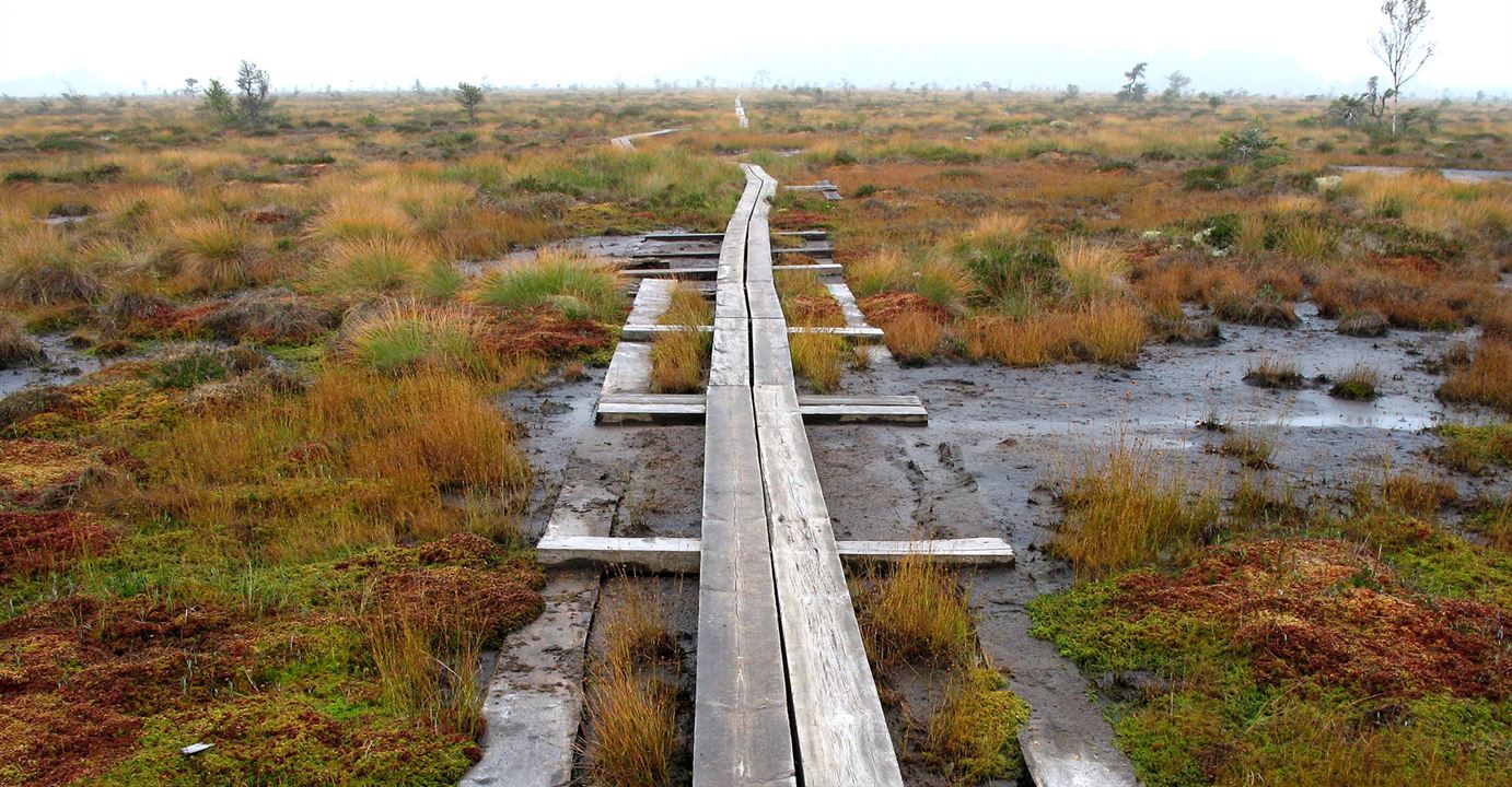
The national park has about 40 km of hiking trails, passing through pine-covered islands and cultural landscapes. In the middle of the raised bog, it feels like being on a remote marsh in northern Sweden. Sturdy boots or rubber boots are recommended, as the terrain can be wet in many places.
The trail starts at the visitor center and is adapted for the visually impaired, strollers, and wheelchairs. A handrail runs along the entire path. It first passes through mixed forest before transitioning into a birch swamp forest. The trail leads to a platform with benches and tables, offering a view over Kävsjön’s floating bog.
A printed guide and an audio guide are available for the trail. The printed guide can be found in a box at the beginning of the path, and the audio guide is available for free loan at the visitor center. Wibecksleden is a project by the Store Mosse National Park Association and was completed in the spring of 2006.
1.2 km, 0.5 hours round trip
A short 300-meter children’s trail with questions and answers. It is wheelchair accessible and located between the parking area and the visitor center.
The hike can be started from four different entrances: the visitor center, Kävsjö, Svänö, and Östra Rockne. If you start at the visitor center, a printed guide for the entire trail is available in a box by the parking area. The guide is designed for a clockwise hike around the lake.
At Svänö, there is a shelter, a fire pit, and a toilet. The trail mostly passes through the forest, with detours leading to a birdwatching tower on the Kävsjö side and another at Svänö. On the eastern side of the lake, the trail enters the raised bog, and at a junction, you can take the eastern path to connect with Svartgölsleden, which has a wheelchair-accessible boardwalk leading to Svartgölen.
If you take the western path, it connects to Gungflyleden towards the visitor center, eliminating the need to cross Road 151.
13 km, 4.5 hours
The trail starts from the Östra Rockne parking area next to Road 151. A printed guide for the trail is available in a box at the beginning of the path. The distance to Svartgölen is 1,850 meters, and the return follows the same route.
The trail winds along rocknar (vegetated sand dunes) before reaching the wide wooden boardwalk leading to Svartgölen. At the pond, there is a large platform with tables and benches by the water. The setting offers a curated wilderness experience, with cranes trumpeting, wood sandpipers calling in alarm, and birds of prey hunting overhead.
For those who wish, a refreshing dip in the pond after a coffee break is a great option.
3.5 km, 1.5 hours
At Häradsö, turn towards Hagen. A parking area is available next to the barn gable. The first part of the trail is outside the national park. Inside the park, the trail follows the old shoreline of Häradsö Lake.
There is a fairly steep slope between the raised bog and the lake, where both cranes and whooper swans nest. At the end of the trail, there is a platform offering views of both the lake and the raised bog.
3.5 km, 1.5 hours
The trail starts at the footbridge over the railway at Kittlakull. Initially, the hike passes through the old peat extraction area. After crossing the large ditch, you reach the untouched raised bog. For about 1.5 km, the trail follows wooden planks, offering a true wilderness experience with vast open landscapes.
A printed guide for the Lilla Lövö Rund trail is available in a box at the start of the stairs leading over the railway.
On Lilla Lövö, which consists of rocky ground and solid terrain, storms have felled much of the spruce forest, leaving a large pile of dead trees. This has created a thriving ecosystem where fungi, lichens, and insects flourish, attracting an abundance of birdlife.
After passing Lilla Lövö, the trail leads up onto rocknar (vegetated sand dunes) and follows them south to the Lövö croft, where overnight accommodations are available. If you follow the rocknar north, you return to Kittlakull Bridge, completing the Lilla Lövö loop.
Both hikes are 6 km, approximately 2 hours.